Projects
Solutions
Data collection
Digital curbside inventory
Data analytics
Manage, analyze & visualize
Data sharing
Valuable industry conversations
Integrations & API (soon)
See CurbIQ and more in action
Industries
Industries
Cities
The latest industry news, updates
Universities
Learn how our customers are
Airports
Get up and running on new
Priorities
Curb digitization methods
Learn about our story and our
Parking app integration
The latest industry news, updates
Parking demand reporting
We’re always looking for talented
EV charging
We’re always looking for talented
All use-cases
Resources
Blog
Expert tips and industry trends
Reports & guides
Insights and leadership advice
Webinars
Valuable industry conversations
Videos
See CurbIQ and more in action
Developer API docs
Access CurbIQ API
About
About CurbIQ
Expert tips and industry trends
Careers
We're hiring!
Insights and leadership advice
Contact
See CurbIQ and more in action
Book a demo
CurbIQ resources
Discover the opportunities that can be unlocked with the digital curbside
The latest reports, projects, use cases, blogs, and webinars.
Reports
Gain valuable insights about curbside management and explore the findings of our pilot studies.
Download for free
Projects
Explore our innovative projects dedicated to improving curbside management in cities worldwide.
Explore projects
Use cases
Learn more about real-world examples of digitizing curbside and curbside mangement solutions in practice.
Browse use cases
Webinars
Watch our collection of informative webinars showcasing our projects, solutions.
Watch webinars
CurbIQ newsletter
The latest trends on curbside management
Stay up-to-date curbside solutions delivered to your inbox, 1x per month, for free.
Subscribe now
Latest blog posts
View all posts
Insights
CurbIQ as a Systems Integrator: Arlington County Parking Performance System
Jacob Malleau
June 23, 2023
Insights
Analyzing Seasonal Demand
Joven Chew
June 8, 2023
Product
Integrating Real-time Availability with Parking Payments
Stefanny Perez
April 12, 2023
Insights
Automating Curb Data Processing
Joven Chew
January 10, 2023
Insights
A Digital Approach to Parking
Rachel Nason
October 3, 2022
Product
CurbIQ on Campus
Jacob Malleau
July 12, 2022
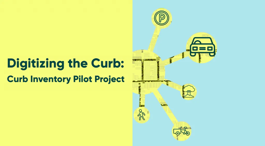
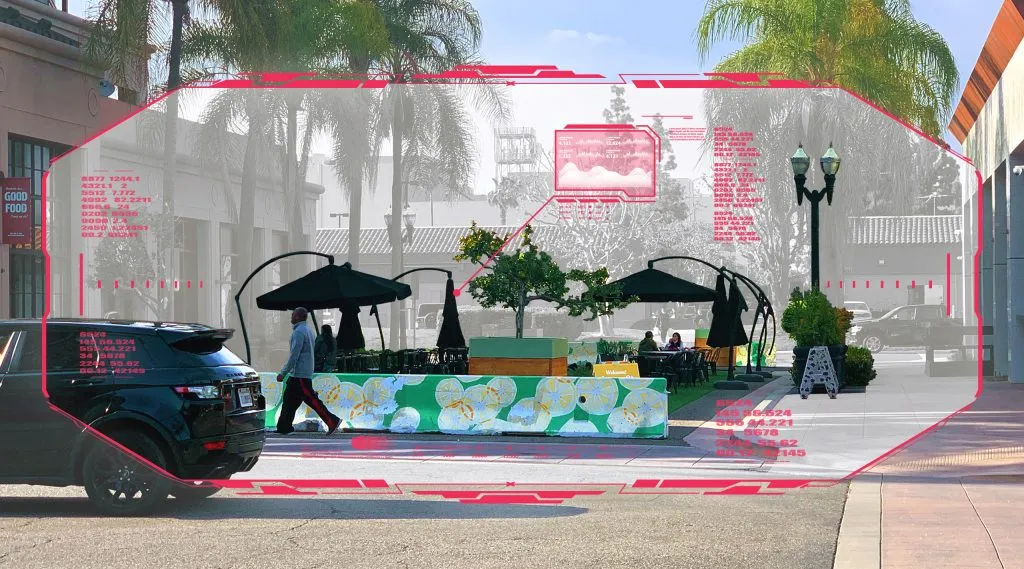
Digitizing the Curb: Curb Inventory Pilot Project
A comprehensive inventory of curb regulations is essential for cities to plan and manage their curbs in more innovative ways.
Thank you! Your submission has been received!
Oops! Something went wrong while submitting the form.
Manage the future of mobility with CurbIQ
Trusted by cities around the world.
Get in touch
Book a demo
Before you go..
See CurbIQ in action! An innovative curbside management solution.
Learn how CurbIQ works


.webp)
.png)


